|
||
|
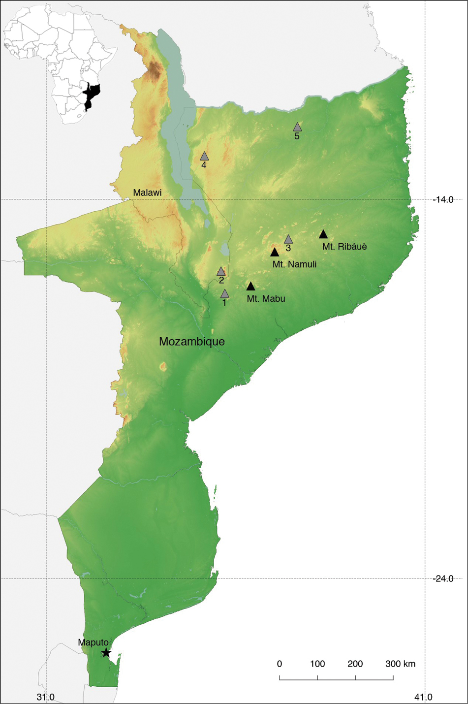
Map of localities surveyed in northern Mozambique. Black triangles indicate the mountains sampled during this study and grey triangles show other areas previously sampled in northern Mozambique and southern Malawi. Numbers indicate the following localities: (1) Mt. Chiperone, (2) Mt. Mulanje, (3) Mt. Inago, (4) Serra Jeci, (5) Serra Mecula. |